Topographic Map
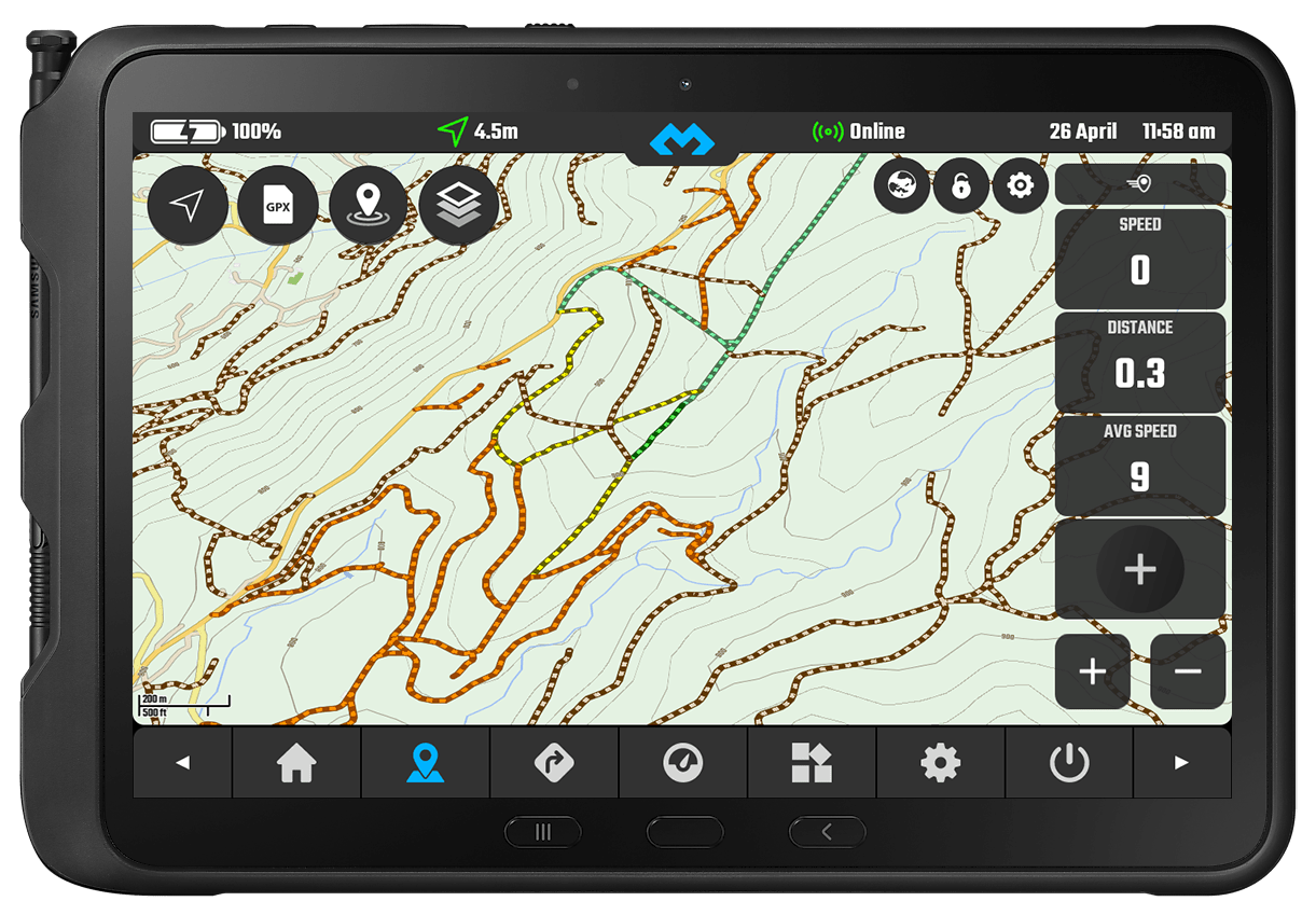
The topographic map was specially designed to allow you to quickly navigate off-road.
It includes altitude lines with text labels with the different altitudes.
Dirt-roads are graded by ground condition using up to 4 different levels with easy identifiable colours.
The offline map source includes OSM data and SRTM1/Lidar contour lines that can go as low as 10m.
You can also configure some of the topographic map style specific settings.
For a even more detailed terrain you can also enable hill shading and even toggle satellite image.
Topo map is available in both light and dark modes.
Map data source compiled by OpenAndroMaps
How to enable the Topo Map Style
In the map view click the Map Layers button
Click on the “Map Type & Style” tab
Select the “Off-Road Topo” style
Check the video!
Off-Road Specific Legend
*Note that Grade 1 is ignored since it is usually paved
Solid surface or with information for specific content: Compacted / gravel / fine_gravel / pebble-stone.
Sometimes paved and sometimes used by cars and for daily commute.
Color: Light Green / Green
Difficulty: Very easy and often used for daily commute
Example:
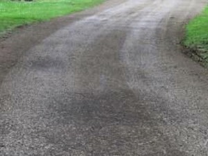
Mostly solid but unpaved usually with surface of gravel.
Very similar to grade 1.
May be applicable to heavily degraded and crumbled roads which was paved in past.
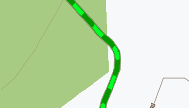
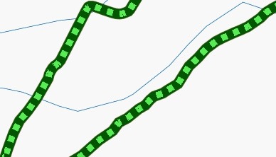
Color: Green / Dark Green
Difficulty: Usually very easy
Example:
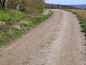
Even mixture of hard and soft materials.
Always an unpaved track.
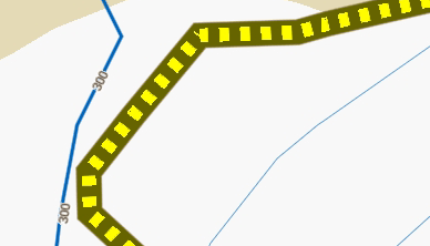
Color: Yellow / Dark Yellow
Difficulty: Usually easy unless with rain!
Example:
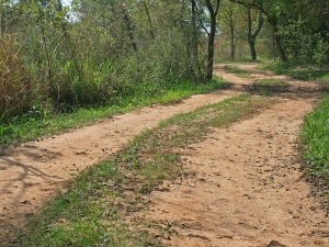
Mostly soft.
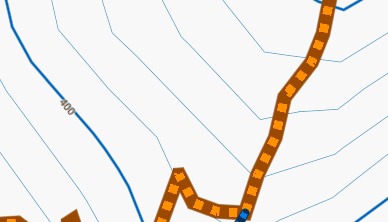
Always an unpaved track prominently with soil/sand/grass, but with some hard or compacted materials mixed in.
Color: Orange / Dark Orange
Difficulty: Usually up to medium difficulty depending on the weather
Example:
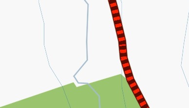
Soft or with information specifying it as: rock / soil / mud / sand / grass
Always an unpaved track lacking hard materials, uncompacted, most of the times its sand!
Color: Red / Dark Red
Difficulty: Up to hard difficulty specially with rain and heavy motorcycles
Example:
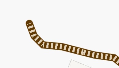
This means the track ground condition is not specified, it should be unpaved but no further information is present.
Color: Teal / Brown
Difficulty: Some of the hardest tracks are ungraded, so expect anything!
Other Relevant Mentions
The path ground condition varies A LOT!! It’s worth to mention that paths are usually a generic or multi-use path open to non-motorized traffic.
Color: Teal / Light Blue
Notice: Often, motorcycles are not allowed!
Example:
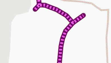
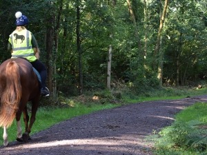
A way intended for use by horse riders (primarily) and pedestrians (depending on country-specific regulations). Most of the times you cannot ride with a motorcycle here!
Always check country specific laws first!
Color: Purple / Pink
Notice: Most of the times motorcycles are not allowed.
Example:
Main Roads
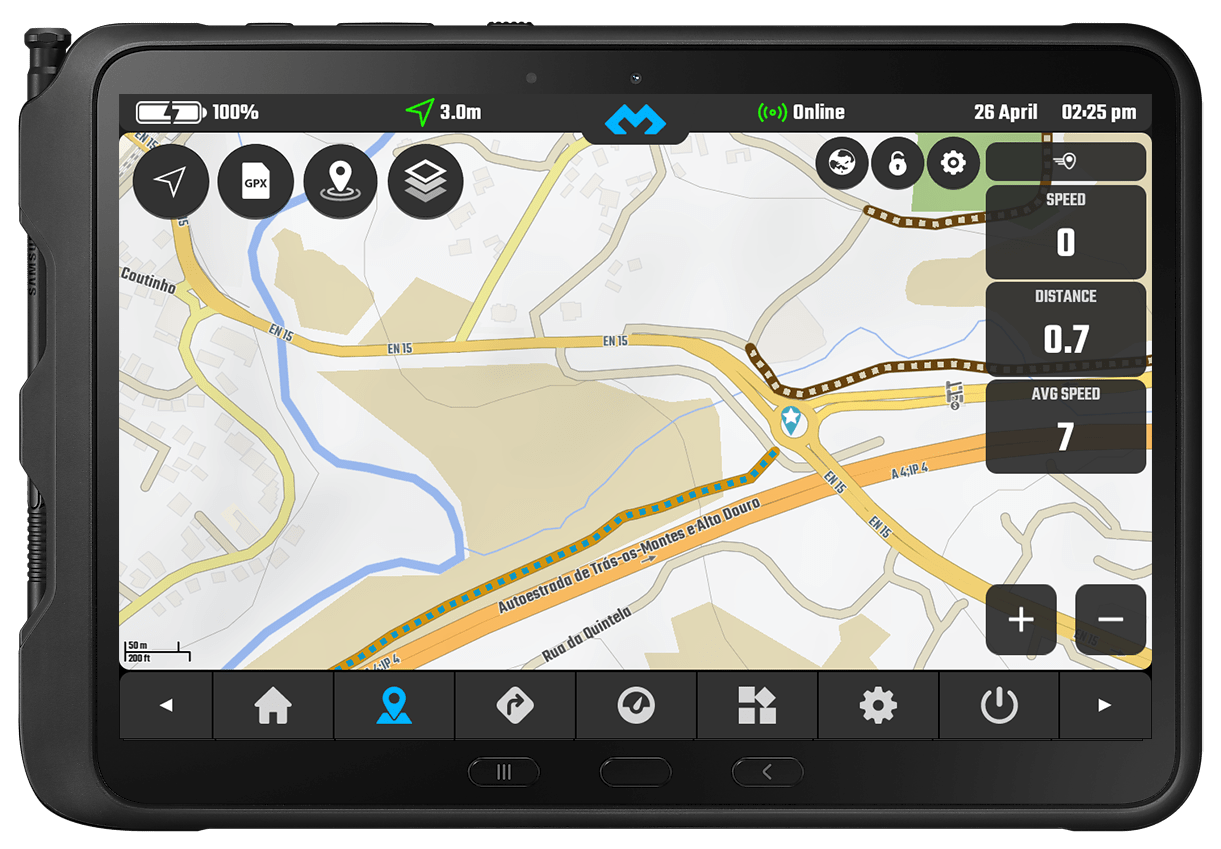
HIGHWAYS – Dark Orange
MAIN ROADS – Orange
TERTIARY ROADS – Yellow
RESIDENTIAL ROADS – Grey
All the other non off-road roads also have different colours in comparison to the regular map theme.
We tried to make everything more contrasted and easier to identify.
- Highways – Dark Orange
- Main Roads – Orange
- Tertiary Roads – Yellow
- Residential Roads – Grey

